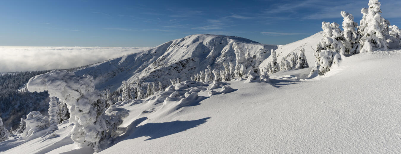
To the Kotelske pass
Horeni Domky – ascend along the Blue course – follow the blue-marked tourist trail to the Zadni Plech intersection – follow the yellow-marked tourist trail to the Krakonosova snidane junction – follow the blue-marked tourist trail (Harrachova Trail) and ascend to the ‘U Ctyr panu’ junction – follow the green-marked tourist trail (Czech Trail) – Ruzencina zahradka junction – follow the red-marked tourist trail to the Kotelske pass.
Length: 11,9 km
Explanations of Symbols
- Hard-to-orientate terrain
- Avalanche risk terrain
- Hard-to-orientate and avalanche risk terrain
- Other warnings; steep gradient
Under certain climatic conditions, life threatening circumstances and/or hard-to-orientate parts may occur on this route. Entry solely at your own risk! Contact the Mountain Rescue Service for the latest information.
Link to mapy.cz


