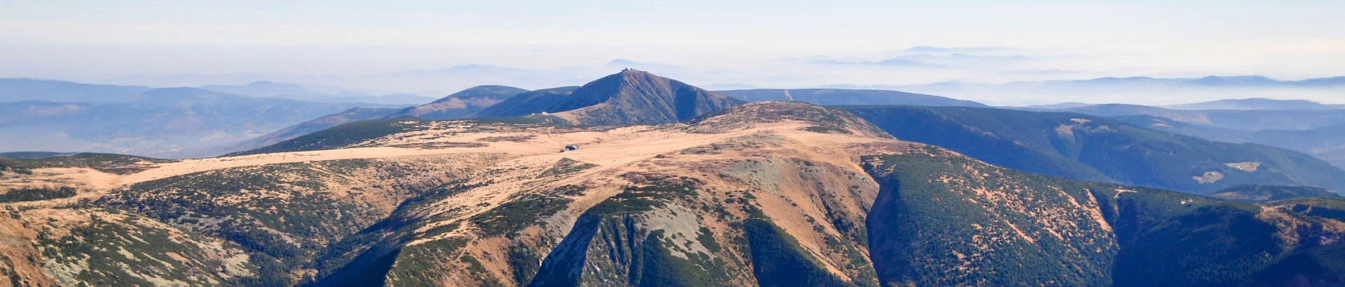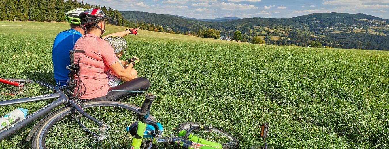


To Harrachov around Lysa Mountain
You can access Rezek, a mountain settlement at an altitude of 890 m a.s.l., on a road from Jilemnice, Vitkovice or Rokytnice nad Jizerou. You can use the Krkonose cyclo bus, your car or your bike.
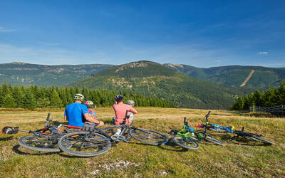
From Rezek, take the cycle track 22 for Rokytnice nad Jizerou. After 1 km, turn right for the K6 cycle track and ascend to the Dvoracky mountain chalet. The descent is long, quite easy up to Sedlo pod Dvorackami junction, but the last kilometre is very steep and it is better to push your bike. From Dvoracky, take the K1A cycle track along the side of Lysa mountain to Rucicky junction. Here you have two options to get to Harrachov. If you turn right you will continue along the K1A cycle track, the so-called Krakonos’s Trail, to descend to Ryzoviste and the centre of Harrachov.
- Length: 14 km
- Surface: A mix of solid and reinforced roads. The descent from Rucicky junction along the Krakonosova Trail requires increased attention as some parts are quite steep. Generally the route is easy to ride and also suitable for cross bikes.
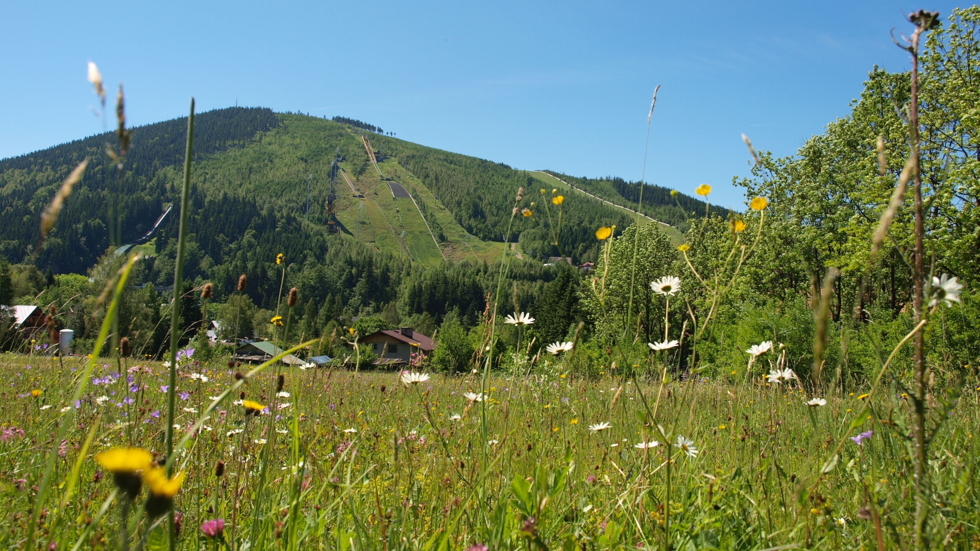
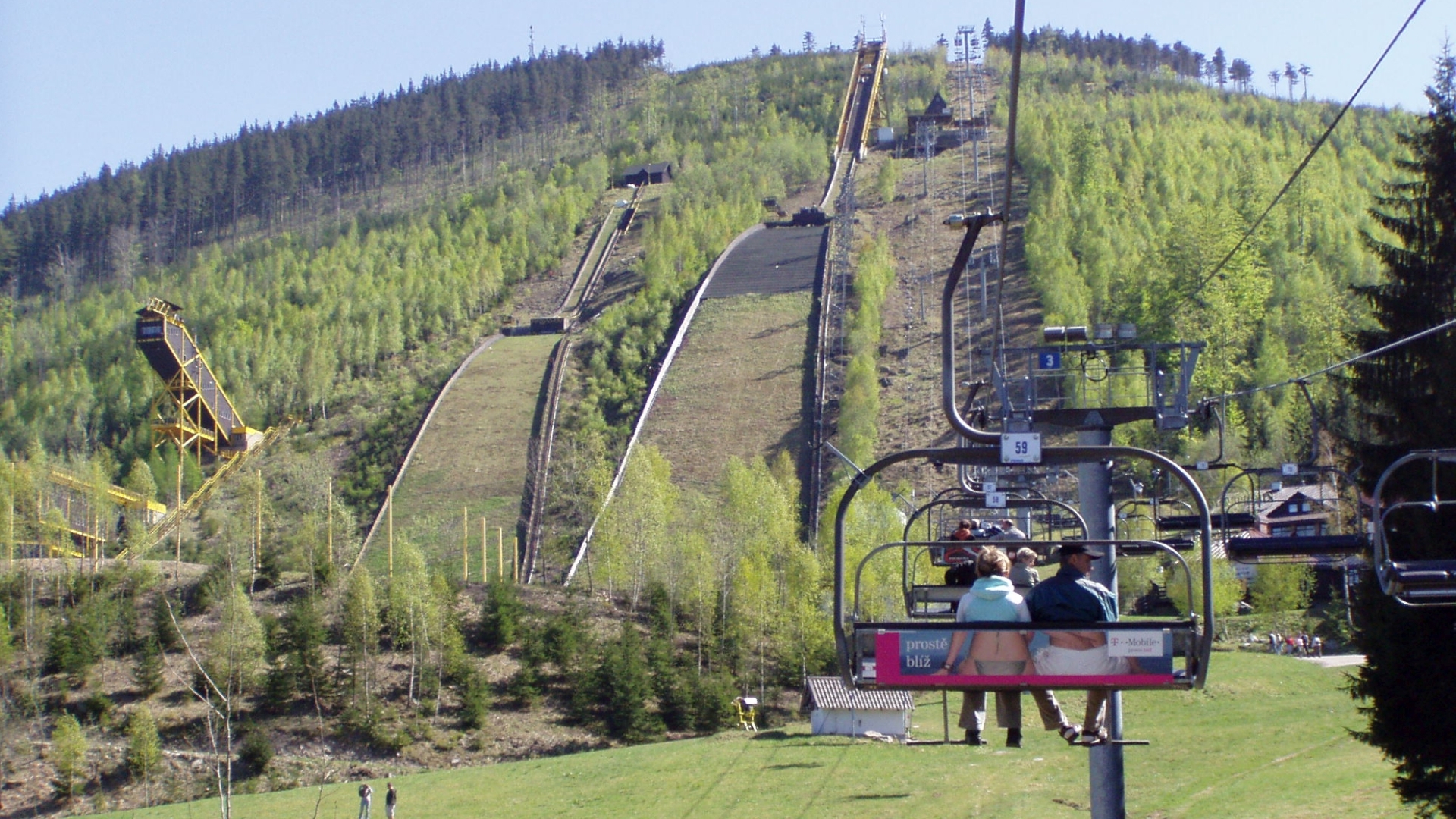
- Attractions: Rezek, Dvoračky, Harrachov (Ski Museum, Novosad & Son Glassworks and Micro-brewery)
If you continue straight from Rucicky junction, join the K4 cycle track to reach Studenov junction. Turn right and descend along the K7 cycle track on a very steep and stony road to Ryzoviste and the centre of Harrachov.
- Length: 14 km
- Surface: A mix of solid and reinforced roads. An MTB bike is recommended.
Information
Don’t be afraid to take your bike to the highest Czech mountains. More than 900 km of bike trails will take you through landscape that you can’t see elsewhere.


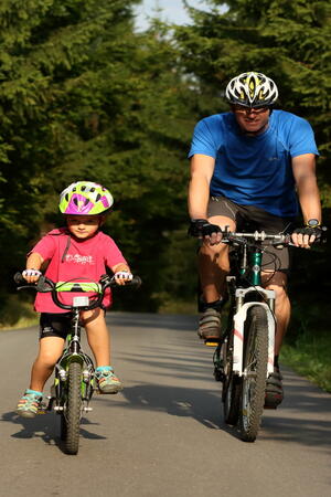
Fill your family time in the Krkonose Mountains with movement in nature, exploration, fun and fairy-tale adventures. We've chosen the best places for you, planned routes, prepared an adventurous stamp hunt and know where to hide in bad weather.