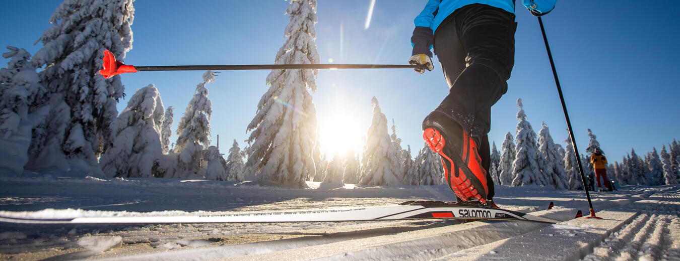

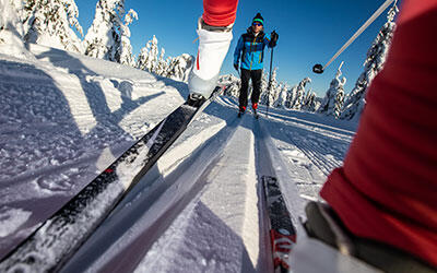
Cross-country Trails at the Foot of Cerna hora Mountain: The Green-marked Trail
Green Trail 1
Cervena vysina – Rudnik, Terezin – Cista – Cerny Dul – Hoffmanovy boudy junction
The trail begins at Cervena vysina hill and turns left in the direction from Hostinne to pass by Rudnicka rokle, the former motocross range, on the right some 800 m further on.
Then it takes a steeper descent to the main road. After crossing the road, the trail continues via a small bridge on the right for the primary school in Rudnik and then towards the U krizku site with a telecommunications tower. A magnificent view of the Cerna hora and Kotel mountains can be enjoyed there. From the tower, the trail runs to Cista and Cerny Dul, where another telecommunications tower at Spalov hill can be used as an orientation point. It turns left for Fort at the junction and then continues straight on.
After crossing the main road, it runs straight on in the same direction via the pastures over Cista to the forest margin. It turns right at the next junction to follow Track 3 – the Cervena vysina circuit, and continues straight to the forest below Smrcina hill. Smrcina is passed by on the left on a forest path. At the junction it turns left for Cerny Dul, where it meets ski trails from Hrncirske or Tetrevi chalets and the regularly groomed “Cerna hora” ski trails.
The Green Trail continues straight on in the upper parts of Bolkov above a row of A-shaped chalets with a uniform look. It turns right at the junction for Trail 2 from Janovice and Bolkov, and then continues straight for Hoffmanovy boudy junction. Refreshments can be found at Penzion Smrcina or Hoffmanovy chalet.
This trail can be used when finishing your trip from the Krkonose ridges from Cerna hora heading for Rudnik, Terezin, Prosecne, Dolni Lanov, or from the 8.6 km trail from Cerny Dul and for Hostinne.
- Length: 12,8 km
- Refreshment: Penzion Smrčina – Hoffmanova bouda
- Map
Green Trail 2
Cervena vysina – Rudnik – Janovice – Bolkov – Hoffmanovy boudy junction
The trail begins at Cervena vysina hill and turns right in the direction from Hostinne along the red-marked Hostinne-Cermna tourist trail. It continues straight on at the junction down the red-marked trail to Cermna or Pilnikov.
Then it turns left onto a forest path. Warning – a steep descent follows! The trail runs across the bridge towards the Rudnik–Mlade Buky main road, which it crosses, and then continues via a steep ascent to open plains, heading for Janovice. It passes the village on the left and crosses the dirt road, and then continues straight to descend down a steeper slope to the U Petry pub in Bolkov. The trail continues with a steep ascent for the plains left of Bolkov, and a long ascent north for Cerna hora and at the junction joins Track 1 from Cerny Dul. Then it takes a right turn in the same direction for Hoffmanovy boudy junction and the chalet.
You can take the same way back. This trail is useful as the final part of a descent from the ridges for Rudnik (the brewery in a part of the village called Pivovar, the wood company), Hostinne, Cermna or Pilnikov
- Length: 10,7 km
- Refreshment: Penzion Smrčina – Hoffmanova bouda
- Map
Green Trail 3
Cervena vysina – Rudnik, Terezin – Cista – Bolkov – Cervena vysina (a circuit)
This trail begins at Cervena vysina hill and follows Trail 1 up to Cista. At the junction it turns right for the road which connects Cista and Bolkov. In the middle of the next passage, 2 km in length, is a skiers’ bridge.
It joins Trail 2 at the next junction and turns right along Trail 2 for Janovice. Refreshments can be found at 10.9 km at the U Petry pub in Bolkov. The trail continues down Trail 2 for the road from Rudnik to Mlade Buky, then onto the red-marked path through a gorge, and turns right for Cervena vysina.
- Length: 15,9 km
- Map
Green Trail 4
Fort, road intersection – Cista – Rudnik, Terezin – Cervena vysina
This trail, which connects the blue and red trail via Rudnik, begins at the end of the blue-marked trail in Fort, at the nearest cottage to the forest. It runs over a bridge on the left of the Fort–Cista road in open plains and then crosses the road.
It continues past the playground in Cista, the junction near Spalov hill where it meets Trail 1, and turns right in the reverse direction for Terezin and Cervena vysina hill. From there, you can continue on other trails for Hostinne, Cista and Pilnikov.
- Length: 8,2 km
- Map
Check the current condition of the route you selected. The GPS data in the rollerblades is transferred directly to the map, so you'll have a perfect overview.


Fill your family time in the Krkonose Mountains with movement in nature, exploration, fun and fairy-tale adventures. We've chosen the best places for you, planned routes, prepared an adventurous stamp hunt and know where to hide in bad weather.