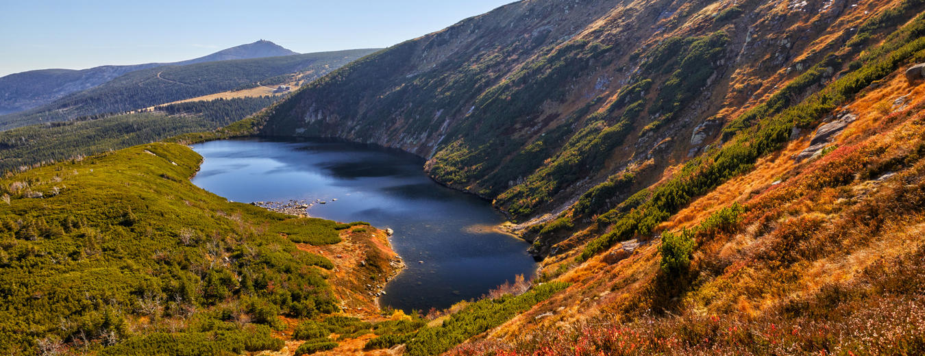


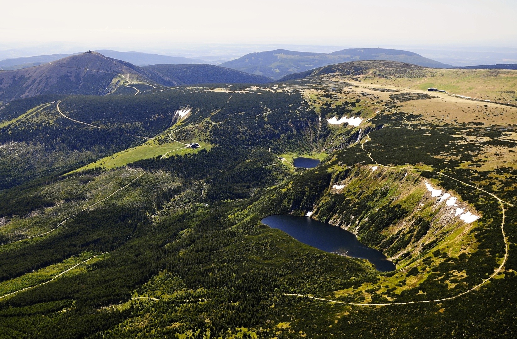
Wielki Staw and Maly Staw Fishponds
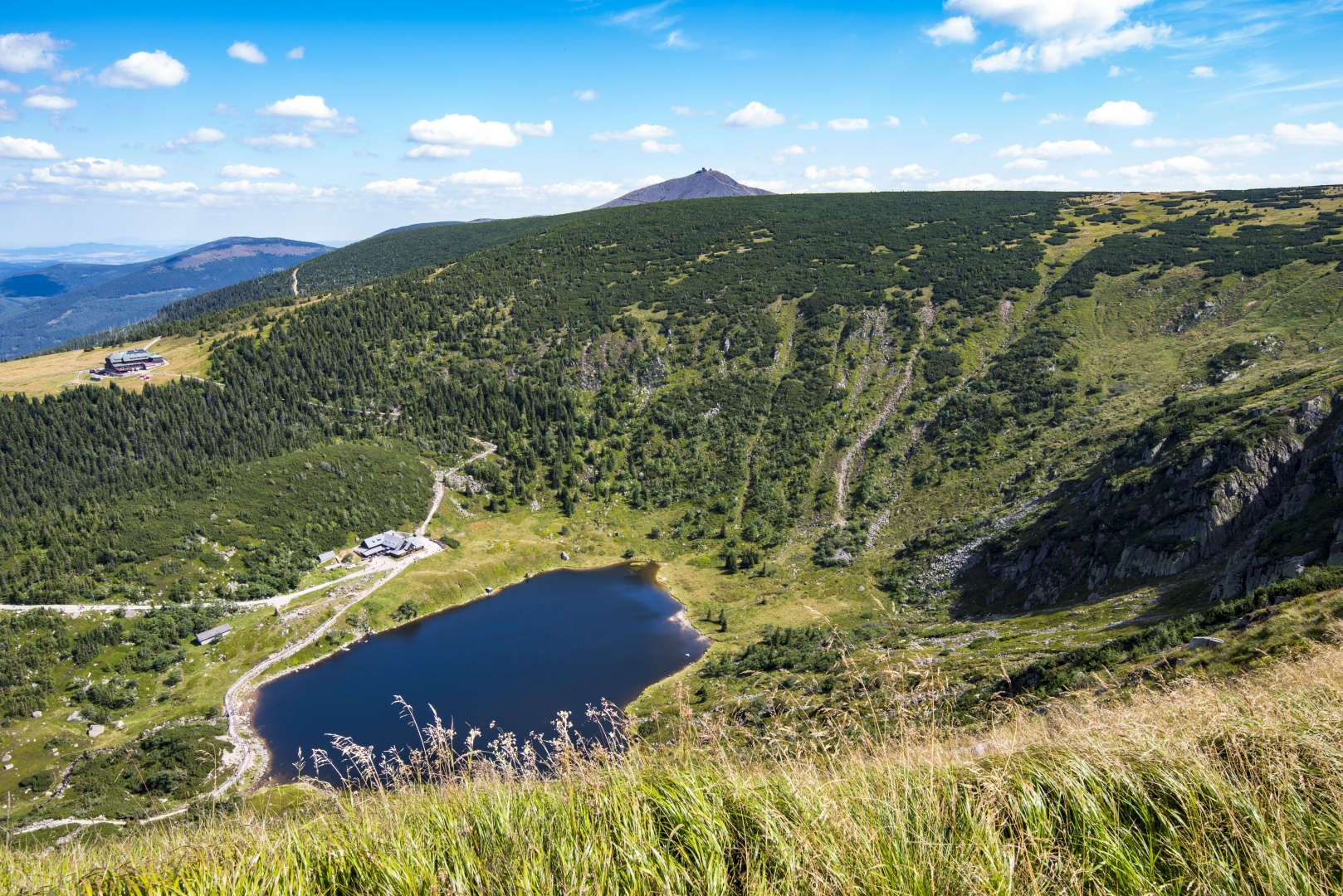
The Wielki Staw and Maly Staw (Big Pond and Small Pond) fishponds can be found on the Polish side of the Krkonose below the Czech-Polish friendship path between Poledni kameny rock formations to the place where the yellow-marked Janova path joins.
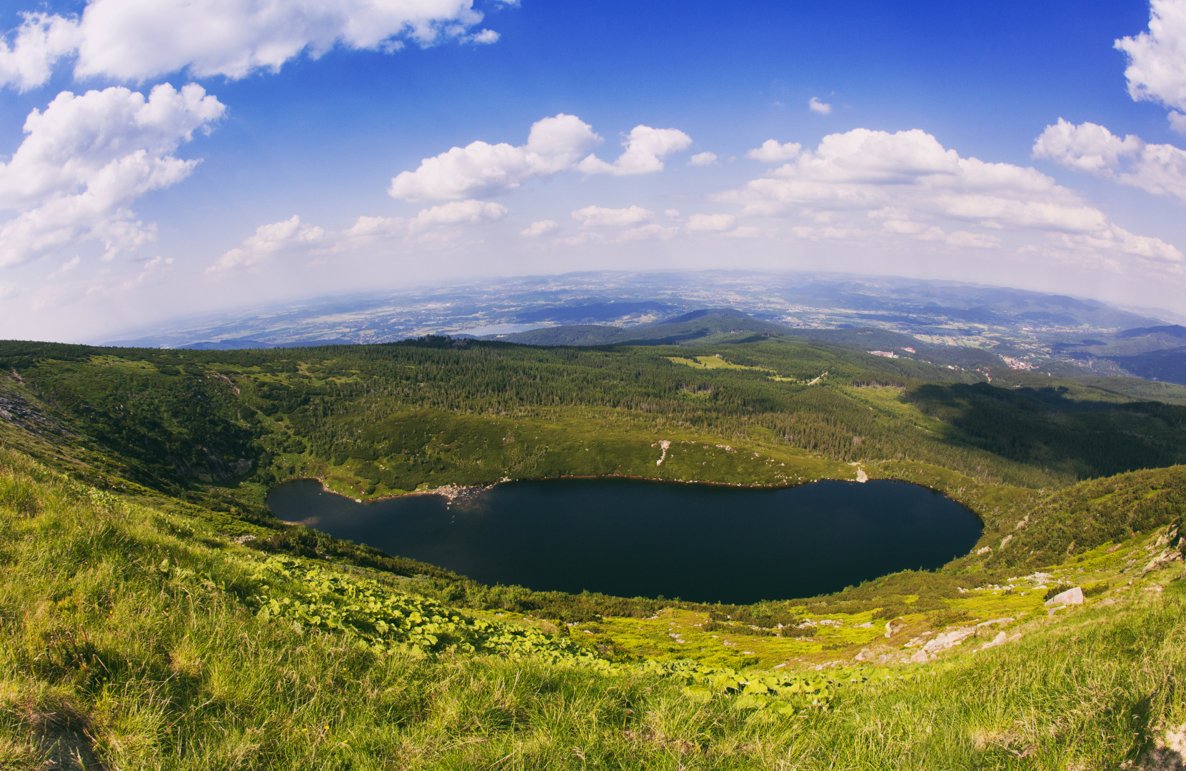
Wielki Staw lies at an altitude of 1225 m a.s.l. and covers an area of 6.5 hectares with a depth of 23 m. It is the largest glaciated lake in the Krkonose, with the bottom made of scree and patches of sand. Maly Staw is at an altitude of 1183 m a.s.l., with an area of 2.9 hectares and a depth of only 6.5m.
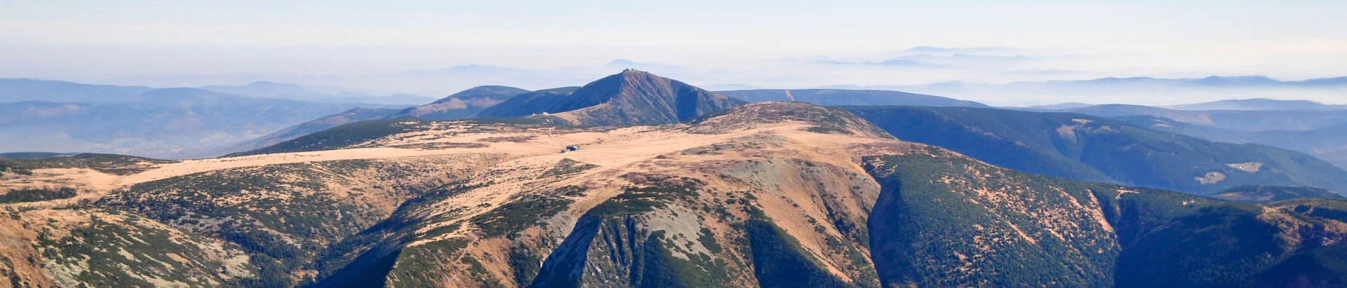
The water in both lakes has the colour of jade and its physical properties are similar to those of water in Alpine lakes which are covered in ice for 190 days a year, such as Silser-See in Switzerland, which lies some 600 m higher. Kotel formations above both fishponds, and Velka Snezna jama are among the most perfect corrie formations in the Polish part of the Krkonose.


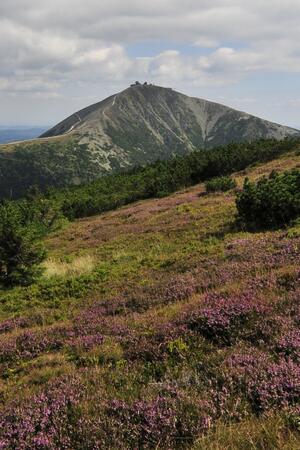
Go from Harrachov to Zacler or in the opposite direction, for a three-day trip or for a whole week. Enjoy the pure nature, the warmth of the mountain chalets and the sky full of stars.