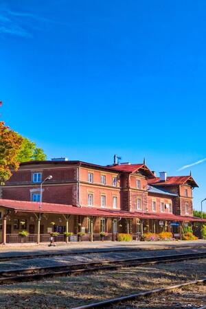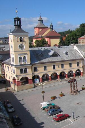


Košťálov
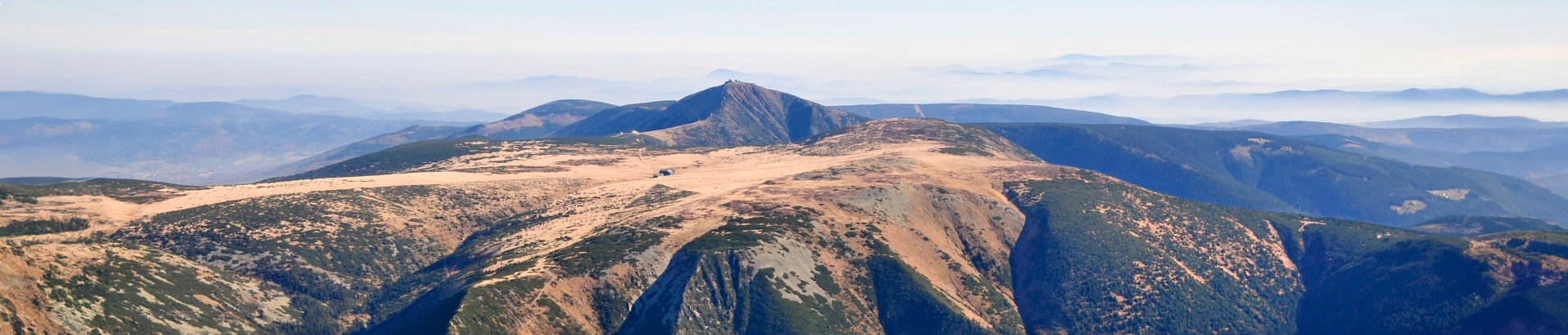
This village is situated at the foot of the Krkonoše along the River Oleška valley at an altitude of 359 m a.s.l. “Kovářův mlýn” is a paleontological and stratigraphic site with a special conservation status, with the occurrence of fossils of the lower Permian fauna and flora.
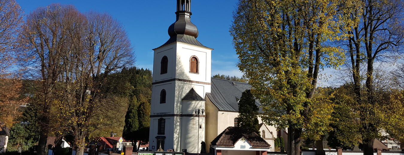
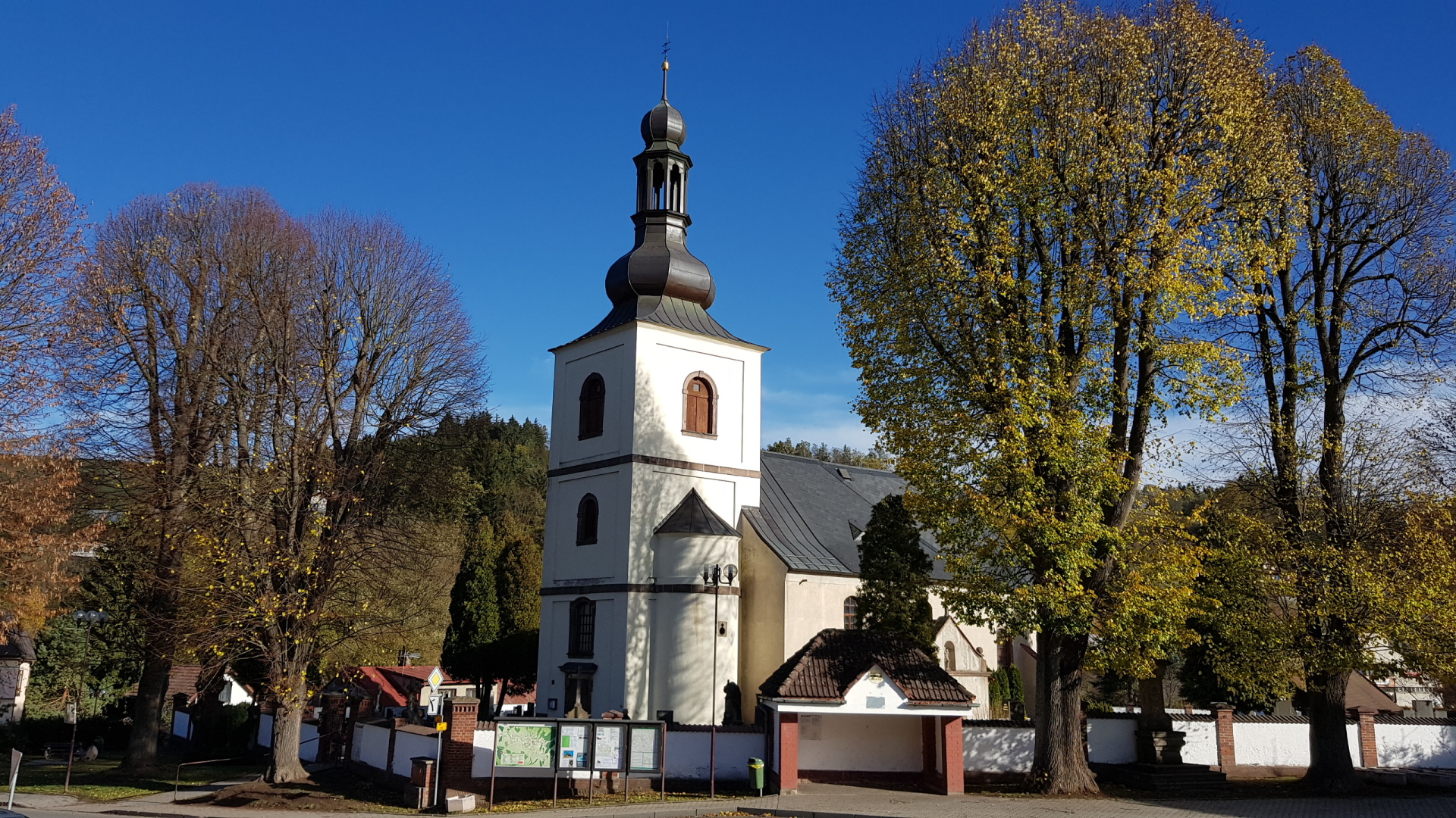
The Church of St James, built in the Gothic style in the 14th century and redesigned in the Baroque style in 1717, is an important historical monument.
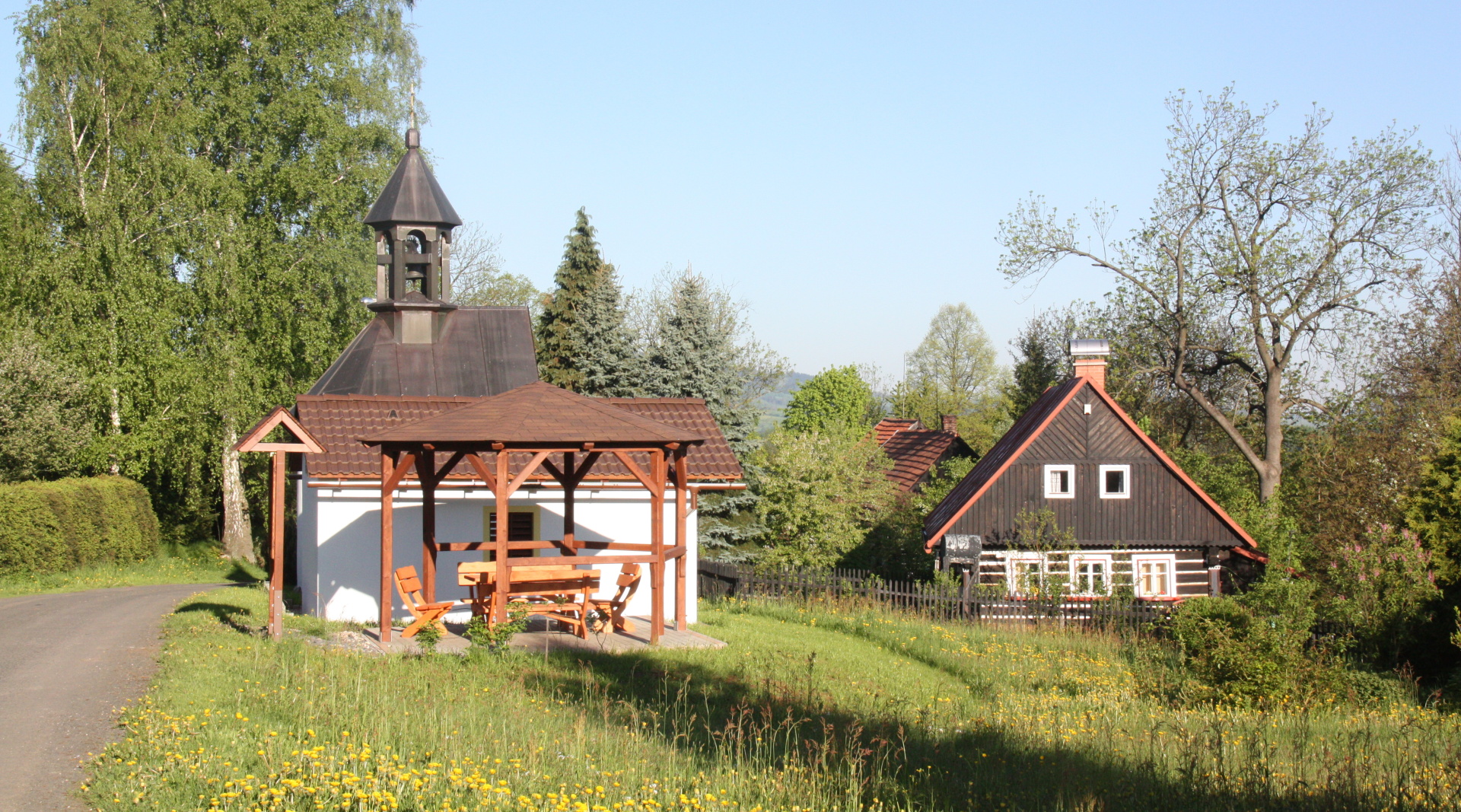
The natural monuments in the village include the Grafkova linden tree with a circumference of 620 cm and two Scots pines.
Information
Location
Address
Košťálov 201
512 02 Košťálov
512 02 Košťálov
Web
Telephone
Email
GPS
50.5722047N, 15.4031094E
Today
13. 11. 2025

9.3 °C
temperature
3.1 m/s
air
Link to mapy.cz