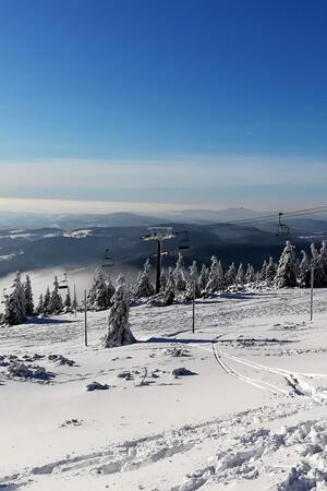


Rokytnice nad Jizerou – Vlci Trail
Rokytnice nad Jizerou – along the brook in Lisci Doupe1 (please keep to the track and do not enter the forest) – join the yellow-marked tourist trail on the Vlci Trail – Okruzni Trail – downhill through the ‘U Vlka’ forest clearing1 (please keep to the track and do not enter the forest) – Vrata junction – join the marked trails of the Czech Tourist Club.
Length: 10,9 km
Explanations of Symbols
- Hard-to-orientate terrain
- Avalanche risk terrain
- Hard-to-orientate and avalanche risk terrain
- Other warnings; steep gradient
Under certain climatic conditions, life threatening circumstances and/or hard-to-orientate parts may occur on this route. Entry solely at your own risk! Contact the Mountain Rescue Service for the latest information.
Information

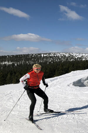
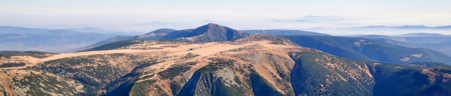
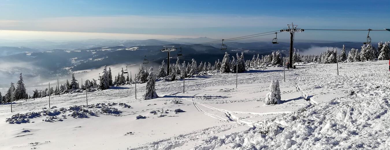
Fill your family time in the Krkonose Mountains with movement in nature, exploration, fun and fairy-tale adventures. We've chosen the best places for you, planned routes, prepared an adventurous stamp hunt and know where to hide in bad weather.