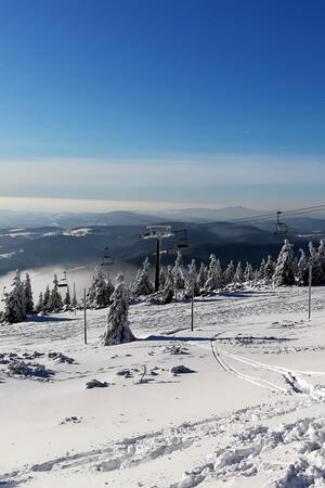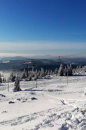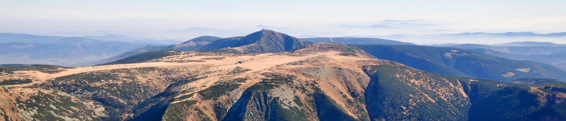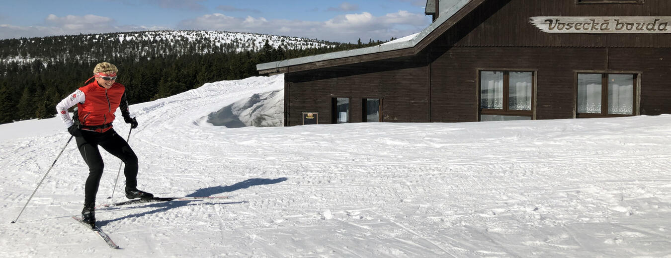


Janousek’s Track
The track runs on a forest path along contour lines and offers magnificent views of the Western Krkonose and its foothills.
It begins at the ‘Pod Voseckou boudou’ junction and ends in Harrachov near the former customs house. It is used as a link between the Krkonose and Jizerske Mountains and is connected to the Main Krkonose Trail. It is an easy track.
Vosecká bouda – Telefonka – Lubošská bystřina – Bílá voda – Kamenice – Celnice, Harrachov
- Length: 13,2 km
- Refreshments: Restaurant Novosad, Harrachov
Information
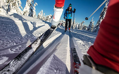
Check the current condition of the route you selected. The GPS data in the rollerblades is transferred directly to the map, so you'll have a perfect overview.

Fill your family time in the Krkonose Mountains with movement in nature, exploration, fun and fairy-tale adventures. We've chosen the best places for you, planned routes, prepared an adventurous stamp hunt and know where to hide in bad weather.