

Descent along the Jizerka River
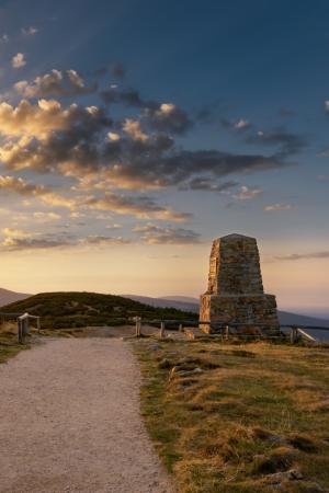
This trip runs almost completely down the Jizerka valley. Starting at the tourist point in Horni Misecky at an altitude of 1000 m a.s.l., you can first reach the sources of the River Labe (the Elbe) with your bike.
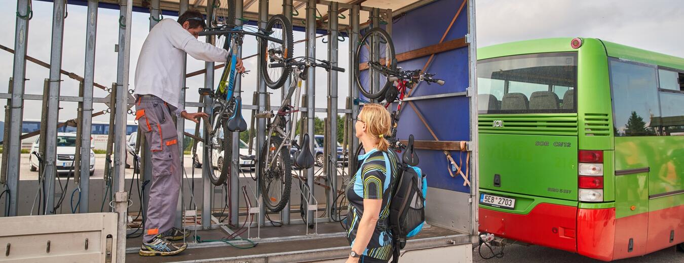
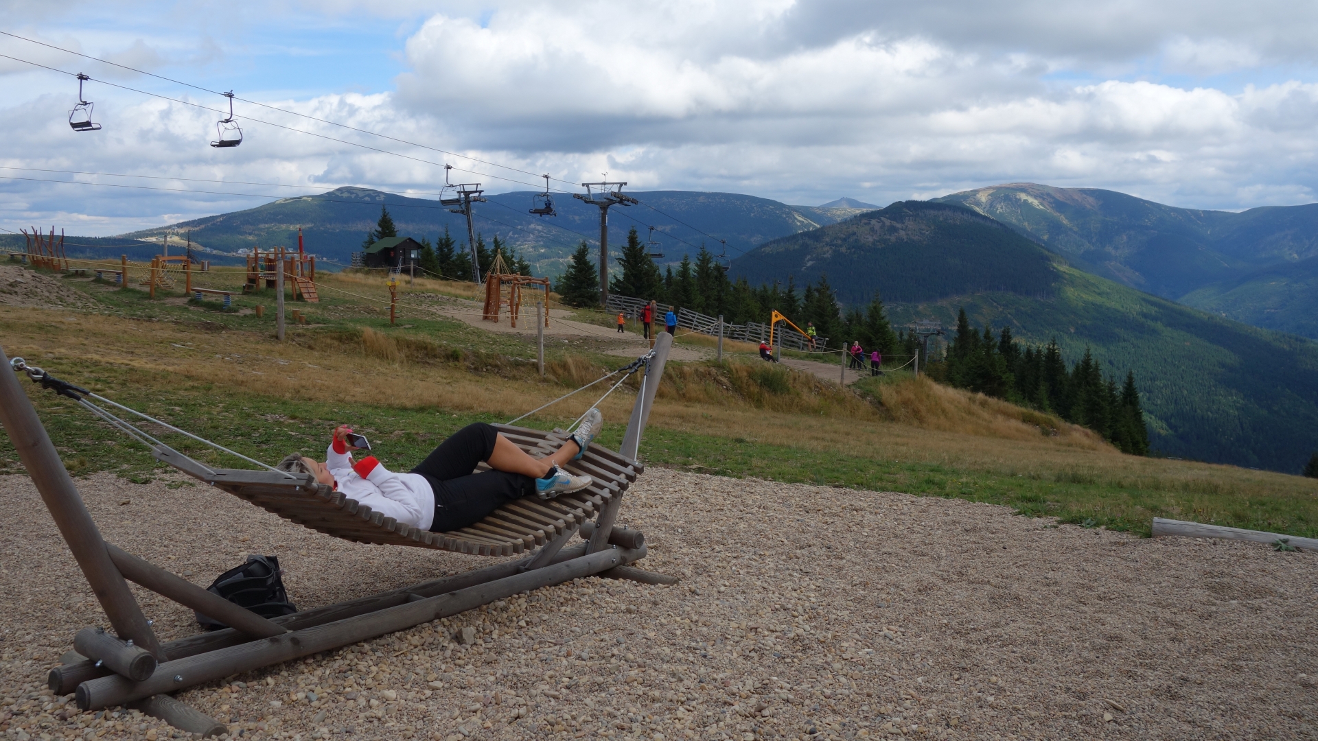
It is easy to take one of the Krkonose cyclo buses to get to Horni Misecky, or you can take a chair lift from Spindleruv Mlyn to Medvedin hill and take the K13A cycle track down to the village.
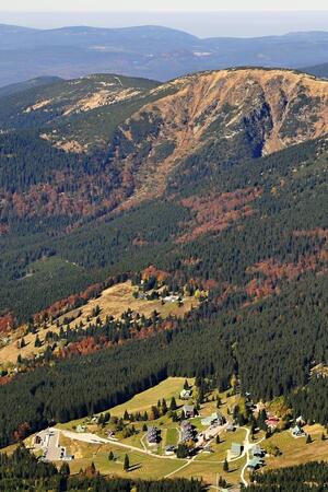
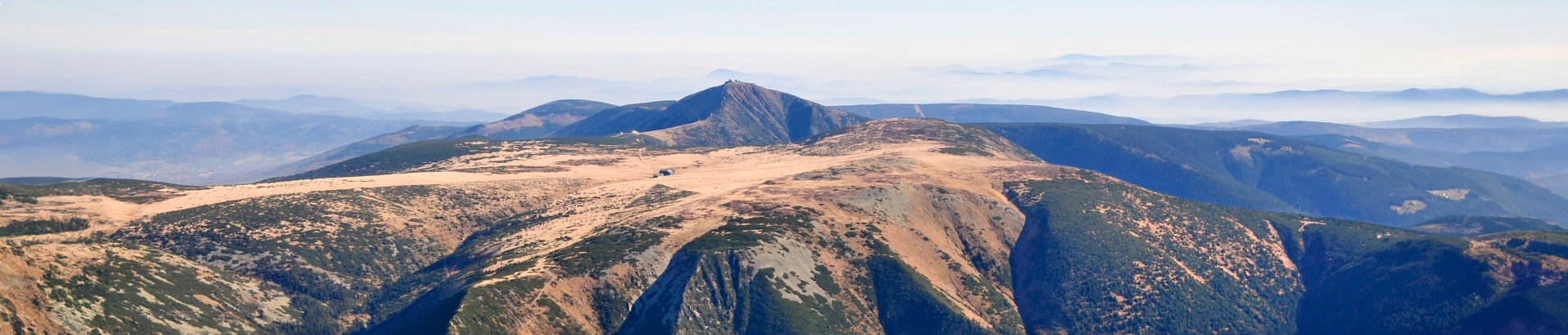
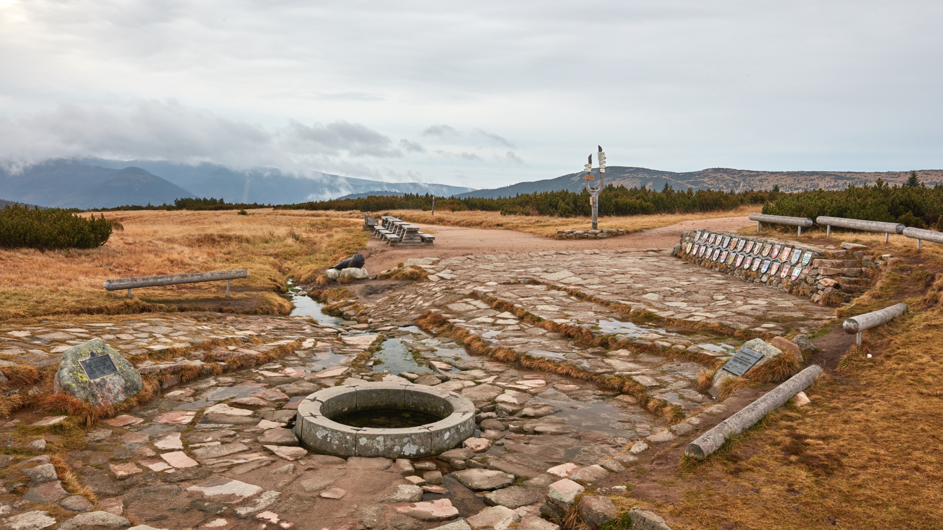
From Horni Misecky, a tourist starting point at an altitude of 1000 m a.s.l., you can ride to the sources of the River Labe (the Elbe), and then take the Masaryk Road to the Krkonose’s ridges. After that a moderate descent follows on a solid road via Labska louka. No riding is permitted to the sources, so you can leave your bike locked at the intersection or near Labska bouda mountain chalet and walk, or you can push your bike.
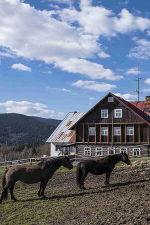
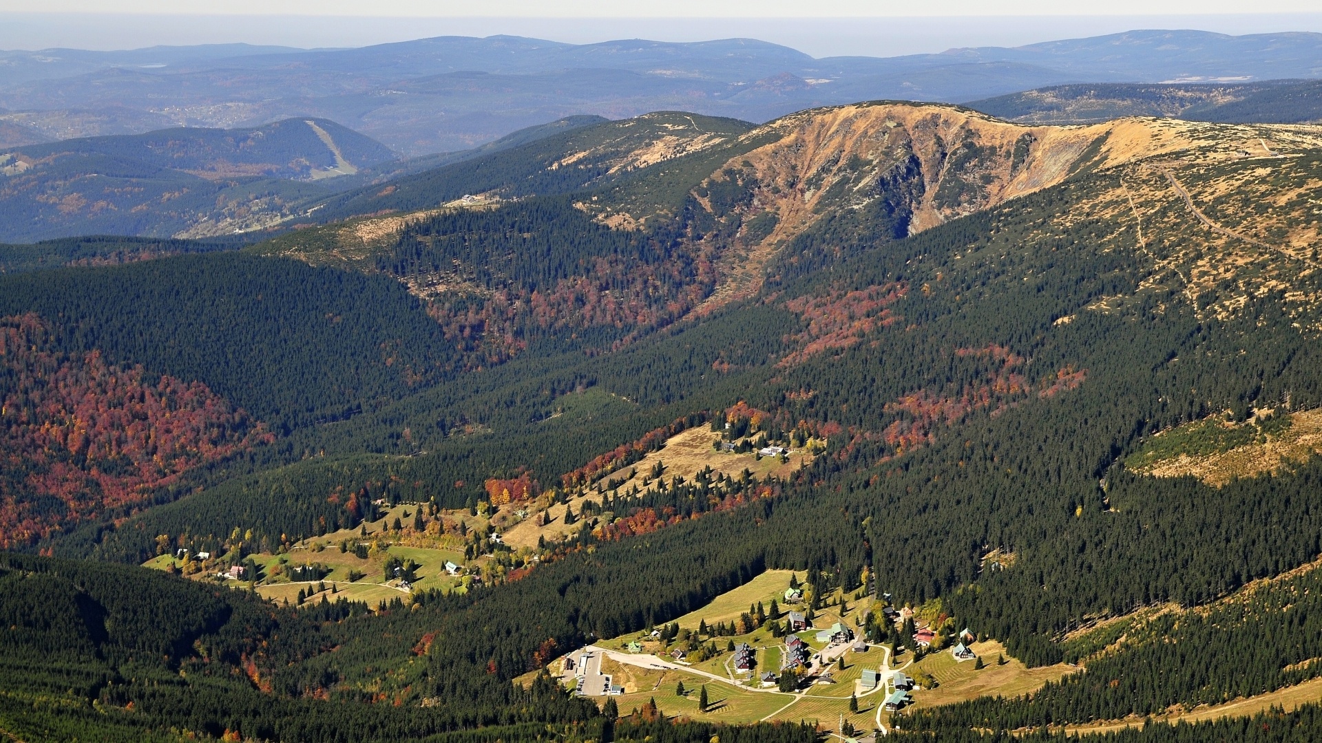
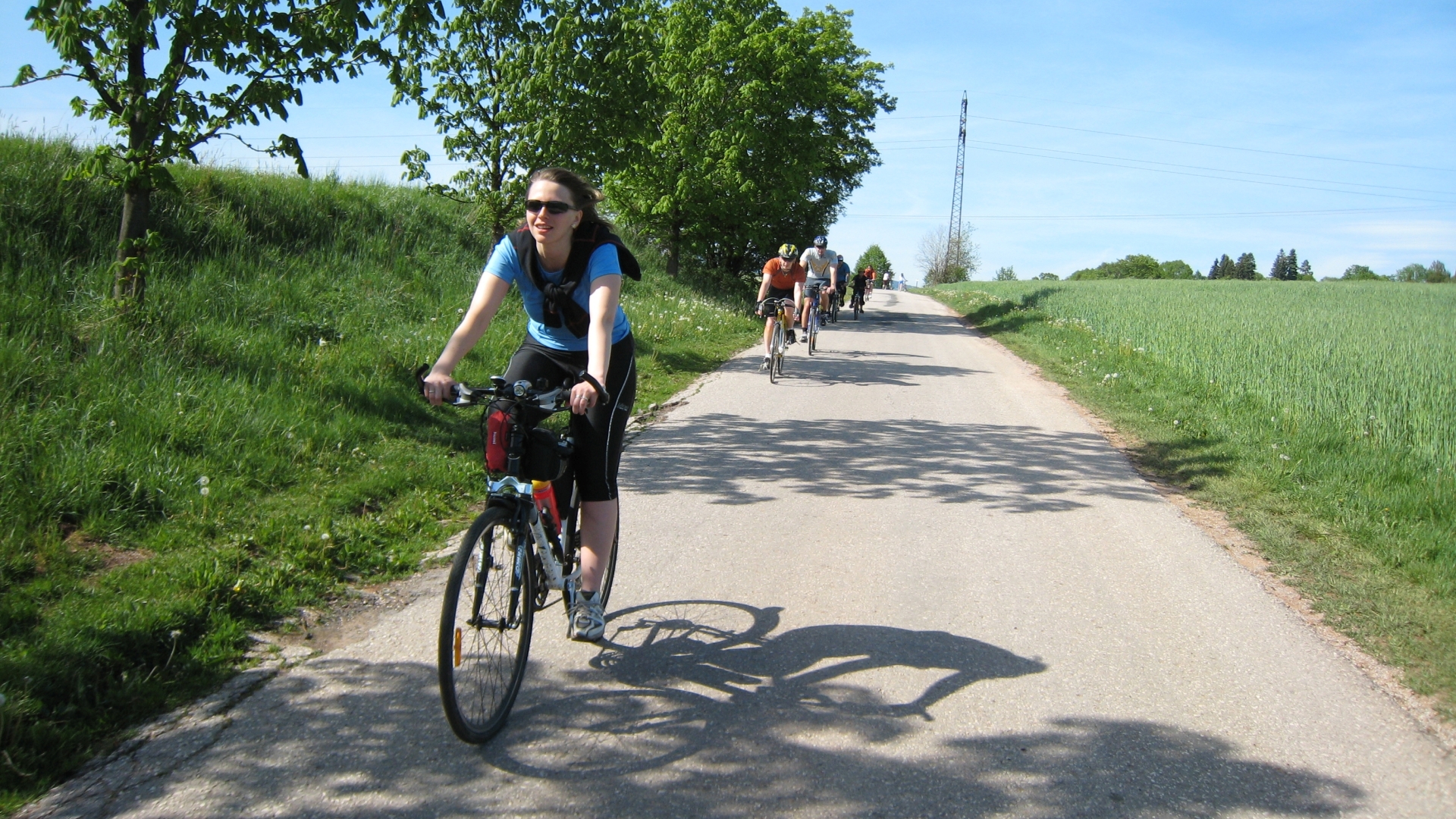
The long descent which we recommend runs along the Jizerka River to its valley. Take the main road 286 for Jilemnice. You will descend along the same road which the cyclo bus takes to get to Horni Misecky. You will go via Dolni Misecky, Vitkovice and Dolni Stepanice to Hrabacov. From there it takes to overcome just a mild hill to reach Jilemnice.
- Length: 20 km
- Surface: The track runs on solid roads and almost the whole length down the Jizerka valley, making it easy to ride.
- Attractions: Horní Mísečky, Jilemnice
Information
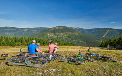
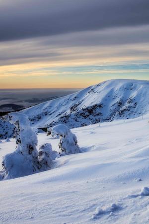
Don’t be afraid to take your bike to the highest Czech mountains. More than 900 km of bike trails will take you through landscape that you can’t see elsewhere.

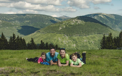
Fill your family time in the Krkonose Mountains with movement in nature, exploration, fun and fairy-tale adventures. We've chosen the best places for you, planned routes, prepared an adventurous stamp hunt and know where to hide in bad weather.