

Štěpanice Descent
Take a cyclo bus line to get comfortably to Horni Misecky, where our long descent starts. Another option is to take a chair lift from Spindleruv Mlyn to Medvedin and descend to Misecky.
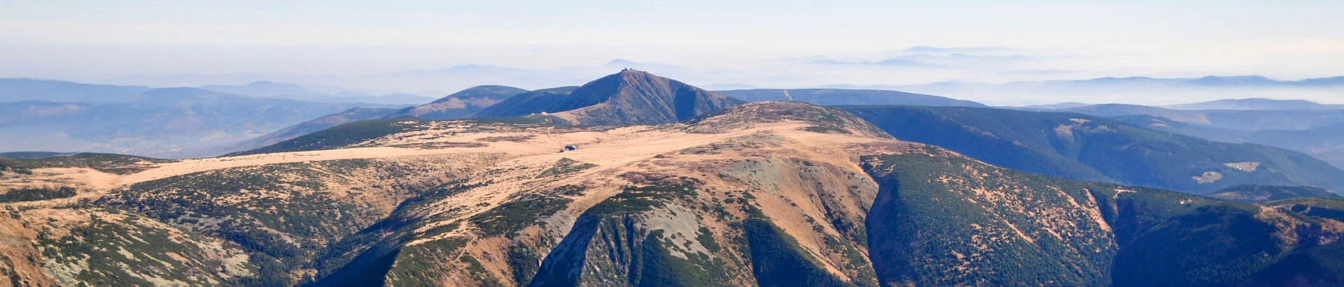
From Horni Misečky, take the KRNAP K13 cycling track for the Třidomi junction and then to the Rovinka junction, where you take the KRNAP K13 track to reach the Bellevue apartments in Benecko. There you turn right and descend past Hančova bouda chalet to Skalka restaurant. At Skalka you turn right and from here following the KRNAP K10 track, descend to Horni Štěpanice. Kotelska vyhlidka viewing point above Horni Štěpanice off ers an excellent view of Kotel, the highest mountain of the western Krkonoše. After Horni Štěpanice, turn right onto the main roadway from Benecko and descend to Dolni Štěpanice, where you turn left and road 286 will take you to Jilemnice.
- Length: 21 km
- Surface: Reinforced surface, solid sections. Some passages, however, are steep and in bad condition.
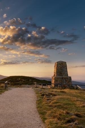
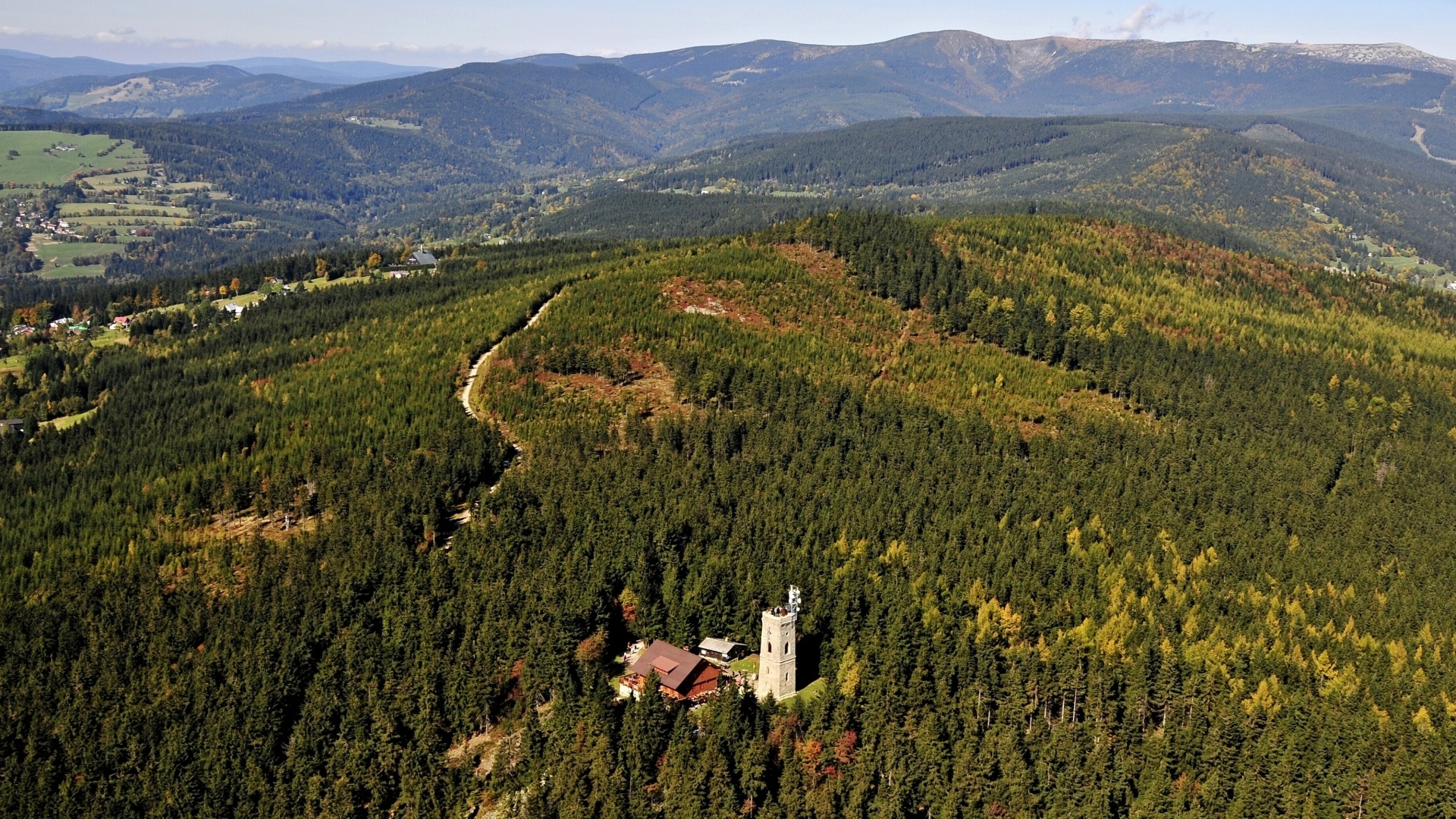
- Attractions: Harrachova skála (rock), chapel of St. Hubert, Kotelská Viewpoint, ruins of Stepanice castle
Information
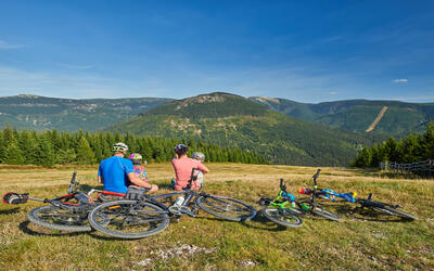
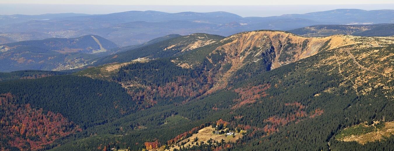
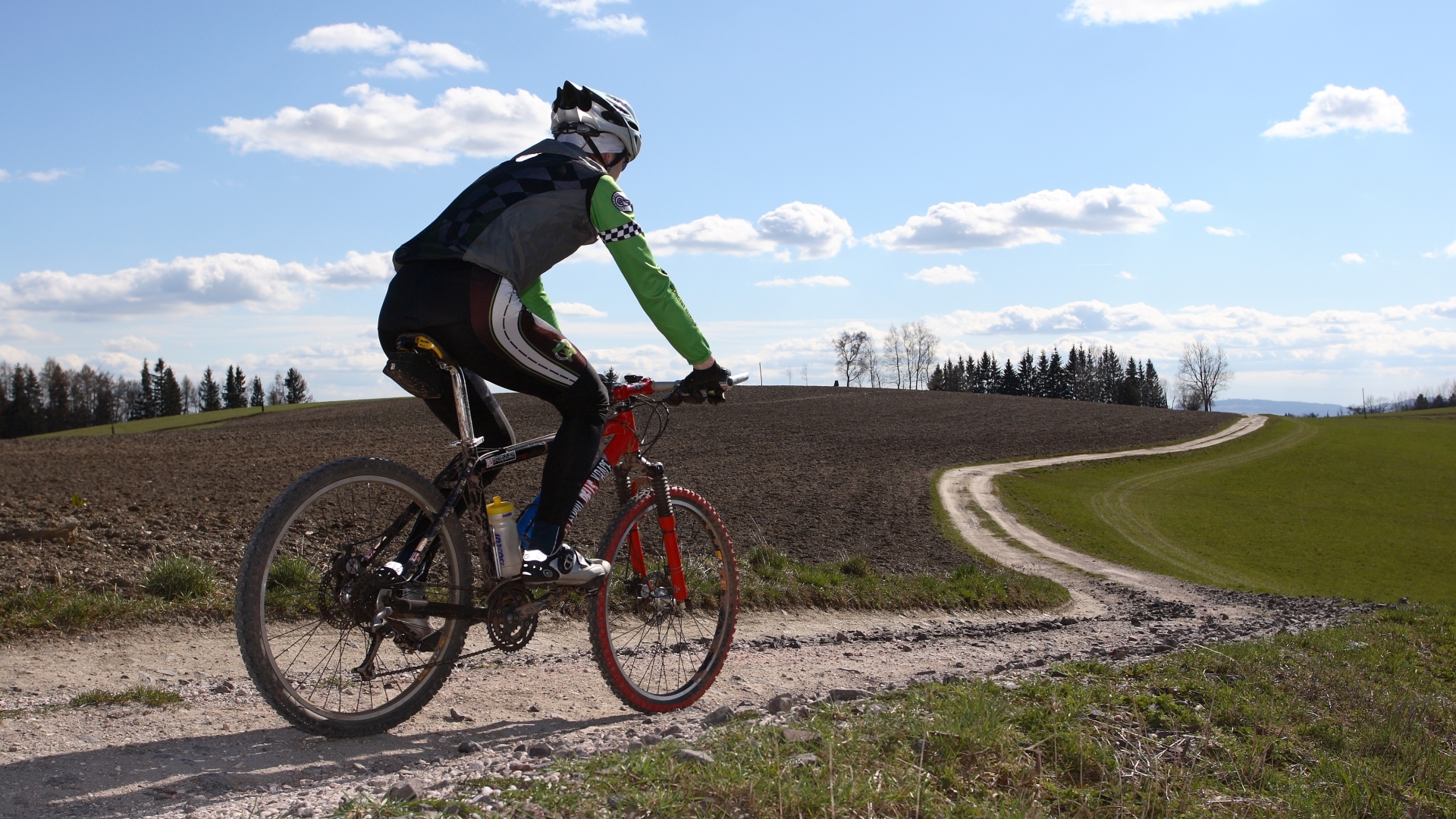
Don’t be afraid to take your bike to the highest Czech mountains. More than 900 km of bike trails will take you through landscape that you can’t see elsewhere.

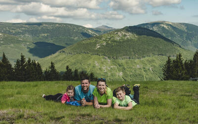
Fill your family time in the Krkonose Mountains with movement in nature, exploration, fun and fairy-tale adventures. We've chosen the best places for you, planned routes, prepared an adventurous stamp hunt and know where to hide in bad weather.