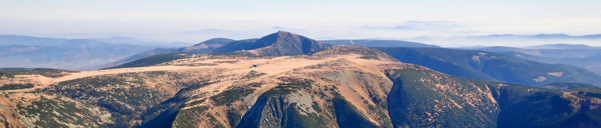


Luční hora Mountain
Špindlerův Mlýn
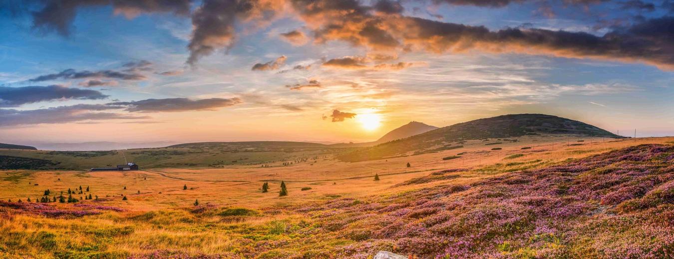
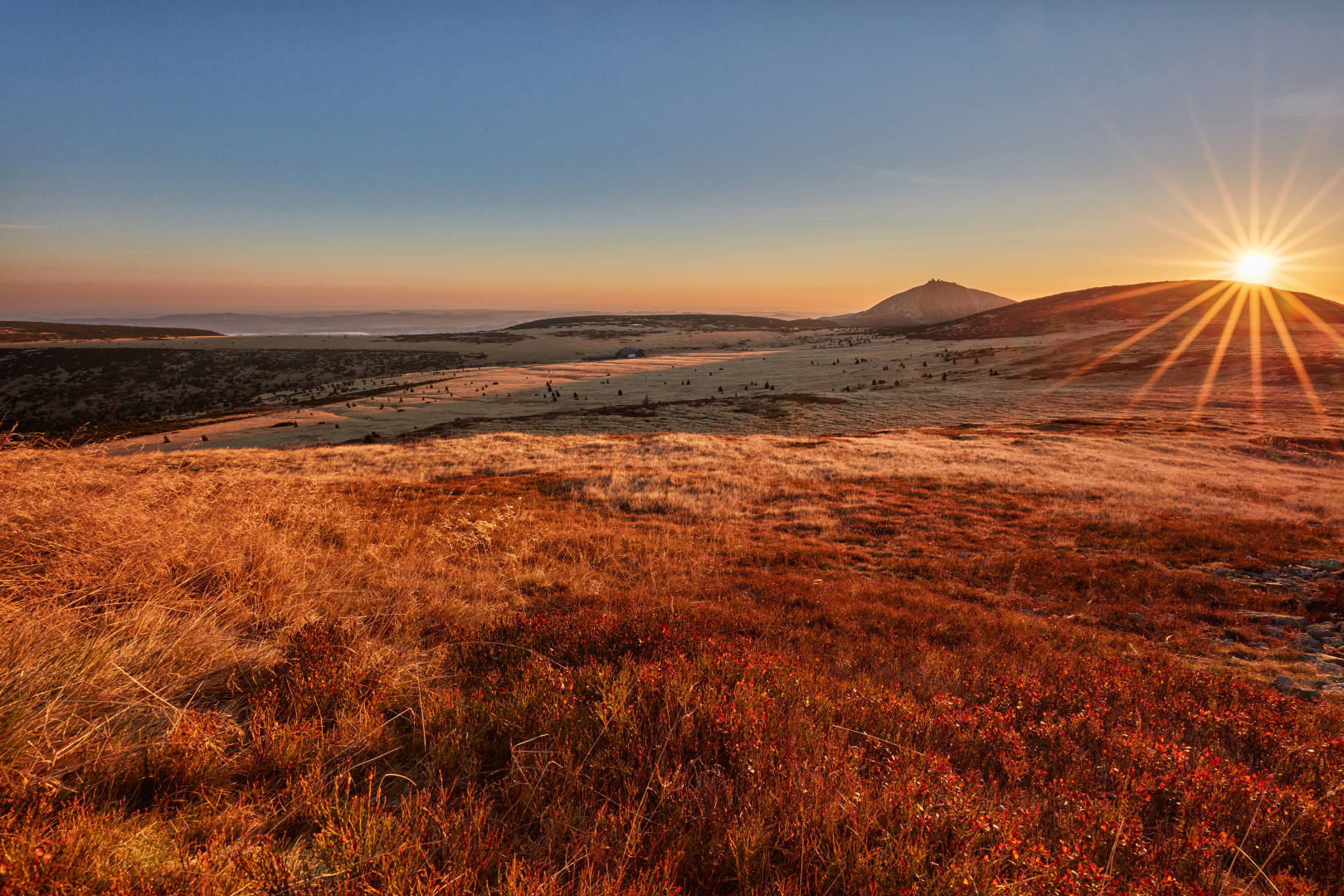
Lucni hora (1555 m a.s.l.) is the second highest mountain in the Krkonose and lies some 5.5 km northwest of Pec pod Snezkou and 4 km east of Spindleruv Mlyn.
Its summit is bare, flat and relatively large. The less steep northern and eastern side is covered in large block seas and the steep erosion slopes on the western and southern side of the mountain are divided into ridges alternating with short valleys and troughs. The mountain lies in Zone I of the Krkonossky National Park.

Link to mapy.cz

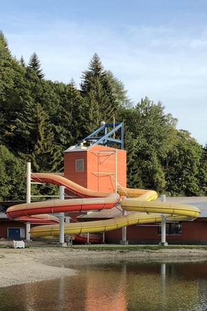
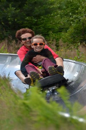
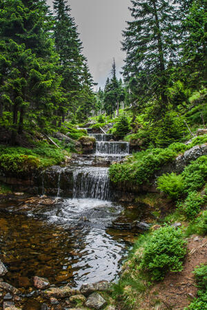
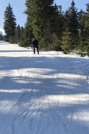
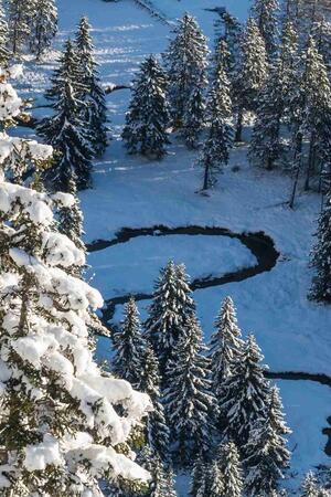
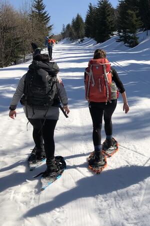
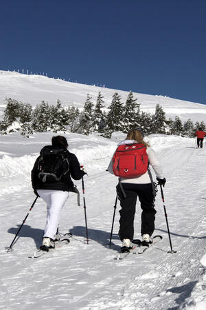
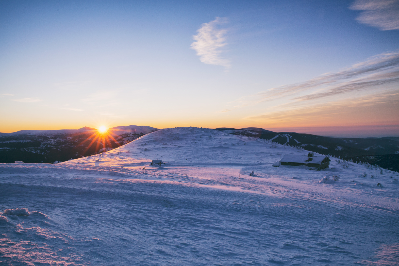
The Real Krkonose
Go from Harrachov to Zacler or in the opposite direction, for a three-day trip or for a whole week. Enjoy the pure nature, the warmth of the mountain chalets and the sky full of stars.