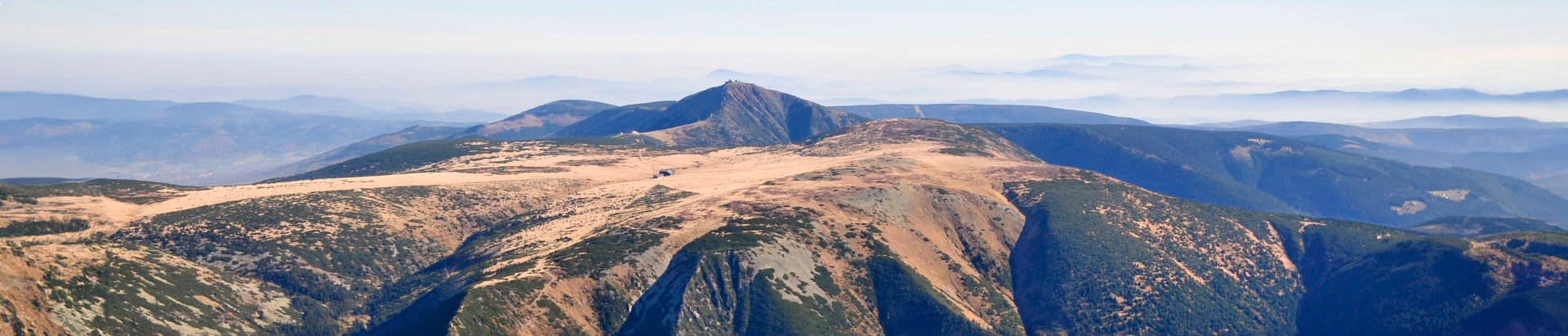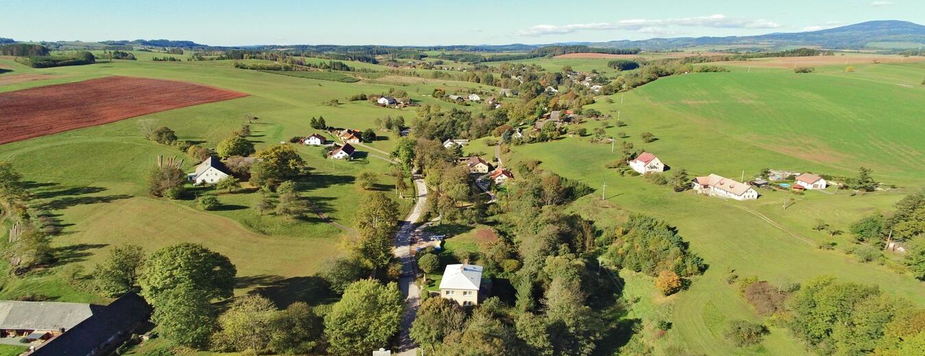


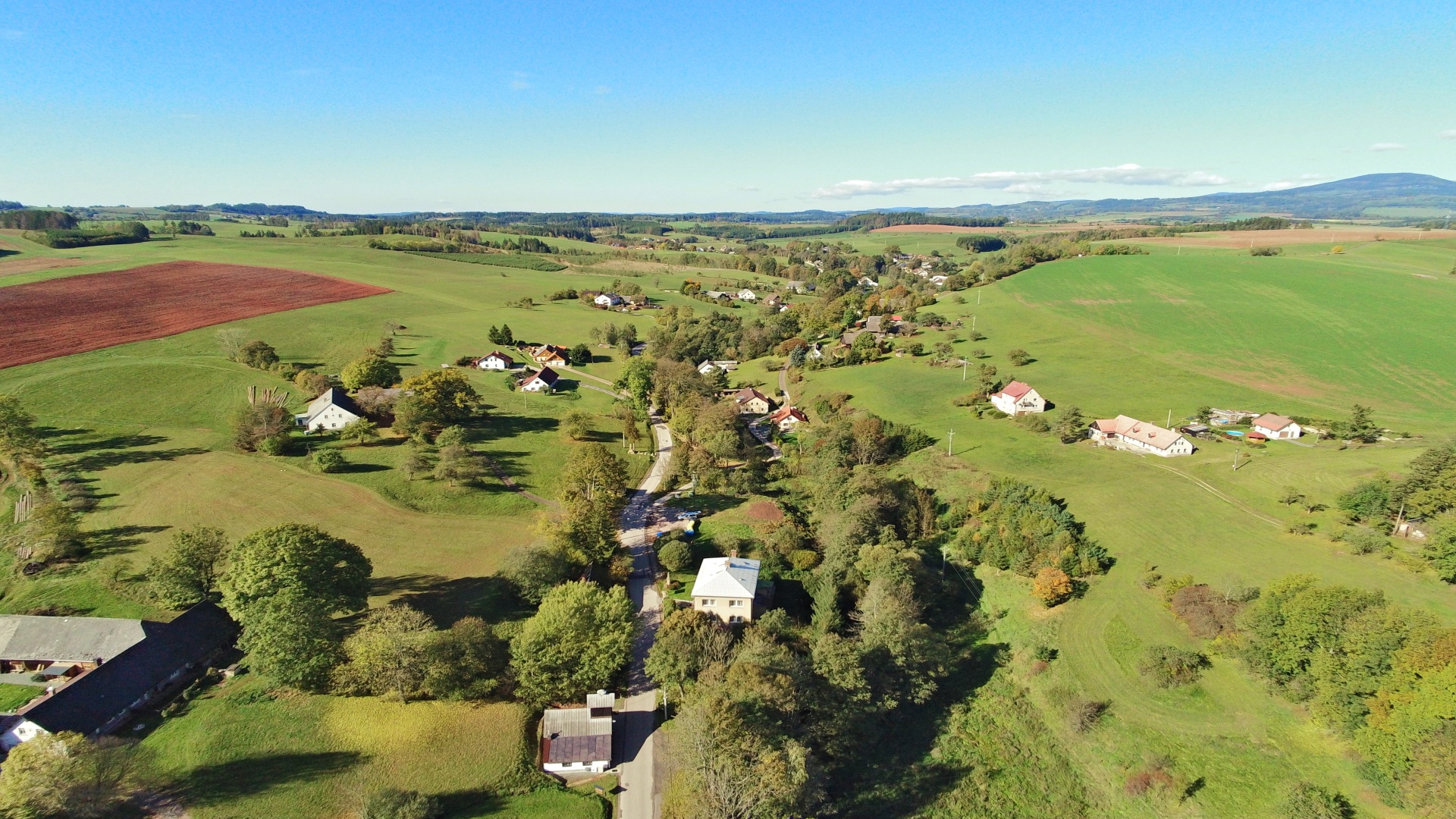
Horní Kalná
Horní Kalná and Dolní Kalná are two villages south of Vrchlabí that stretch along the Kalenský brook for more than 6 km to its confluence with the Čistá brook. Originally one village, they were divided into two parts for the first time in 1849 during the reign of Count Karel Rohan and for the second time in 1990. Many landlords governed the village over the centuries, among them King George of Poděbrady, the Valdštejn family, Jan of Morzin and Count Karl Rohan.
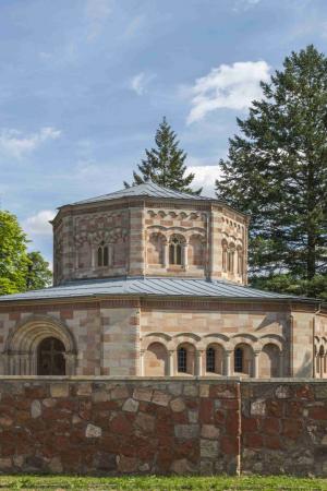
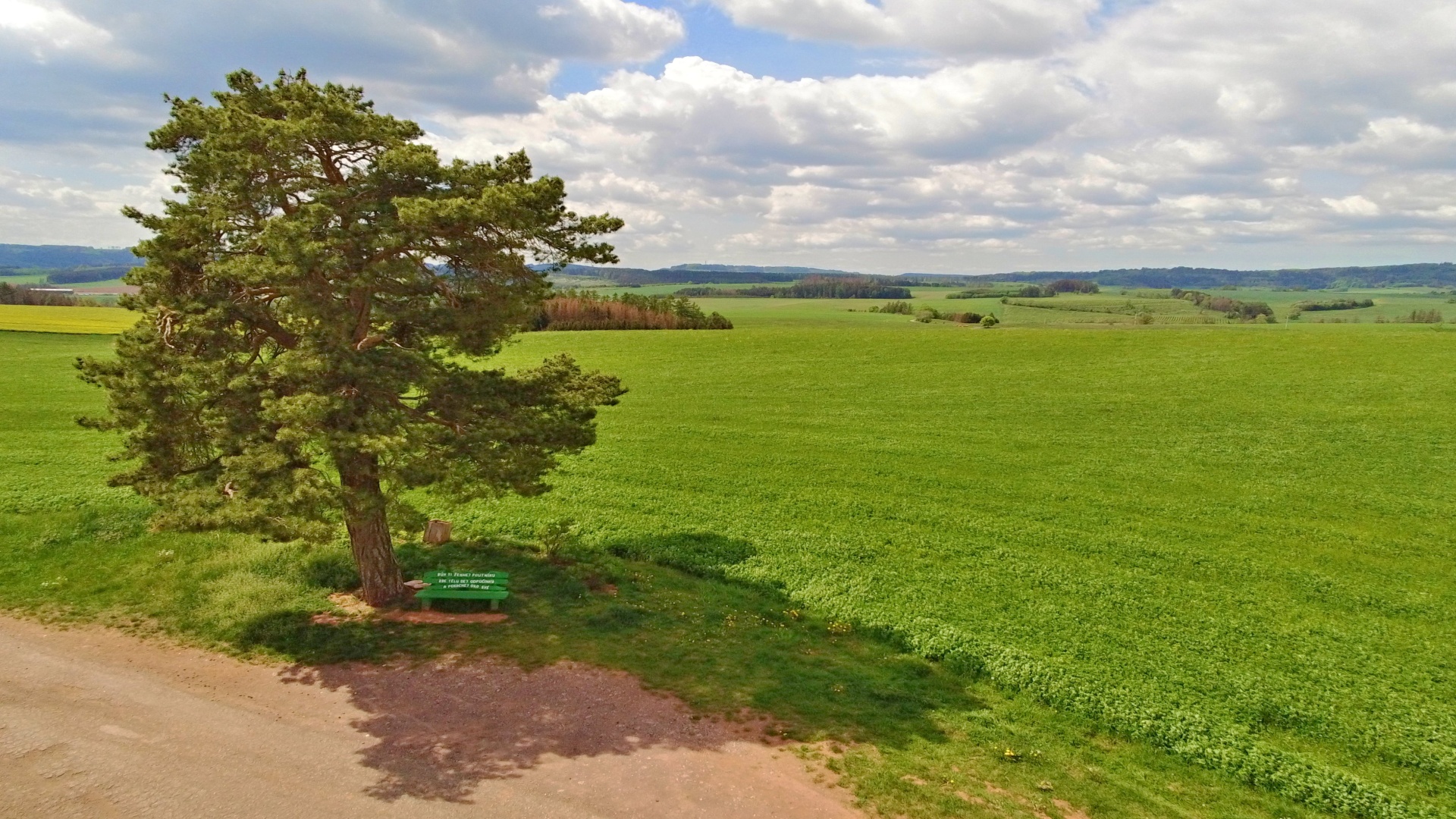
Many interesting religious monuments have been preserved in the village, such as chapels, wayside shrines, statues of holy patrons, bell columns and a monument to the victims of World War One.
Information
Location
Address
Horní Kalná 122
543 71 Horní Kalná
543 71 Horní Kalná
Telephone
Email
GPS
50.5626372N, 15.6244278E
Today
19. 4. 2024

0.3 °C
temperature
2.3 m/s
air
Link to mapy.cz