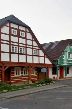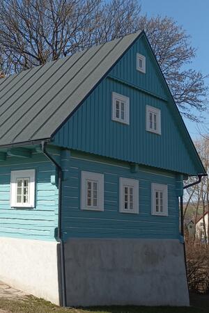


Kunčice nad Labem
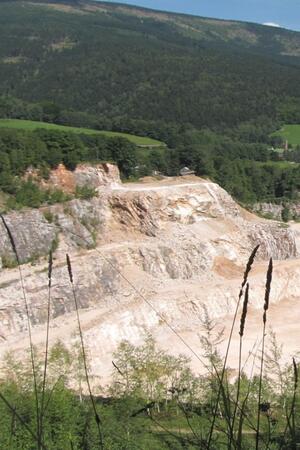
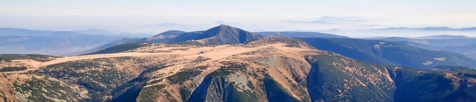
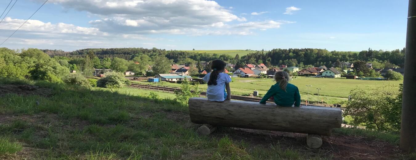
The village lies in the foothills of the Krkonose mountains in a valley along the River Labe, surrounded by far-stretching forest slopes on both sides. Above the River Labe, which is the natural dividing line with the neighbouring village of Horni Kalna, is a very old road dating back to the 12th century, called Kalenska pricnice.
The village is a very good starting point for trips in the Krkonose and around. It is connected by train to Trutnov, Svoboda nad Upou, Rokytnice nad Jizerou and Vrchlabi, from where buses can be taken to Spindleruv Mlyn.
The beginnings of the village are connected to the Benedictine monastery called the Vrchlabi Provostship, established in the mid-13th century. The village’s name is probably derived from Queen Kunigunda, the patron of the Provostship.
The Chapel of the Virgin Mary
The Chapel of the Virgin Mary, originally a brick Classicist building from 1847, is the most important historical sight in the village. It was built with major support from Jan Krikava, the head clerk of the Vrchlabi demesne. When it became insufficient for the needs of the village, the nave was extended with an interesting half-timbered lightweight structure in 1906. The chapel is situated in the village, left of the road to Hostinne, not far from the school. It is a red sandstone brick building and with a three-sided presbytery which has a semi-circular plan in the interior. The presbytery corners are accentuated with even pilasters. The chapel has a flat vaulted ceiling and the presbytery has a conch. Semi-circular windows are located on two sides of the chapel. An octagonal bell turret with a skylight, covered by a polygonal roof, is placed on the roof ridge.
Information
543 61 Kunčice nad Labem